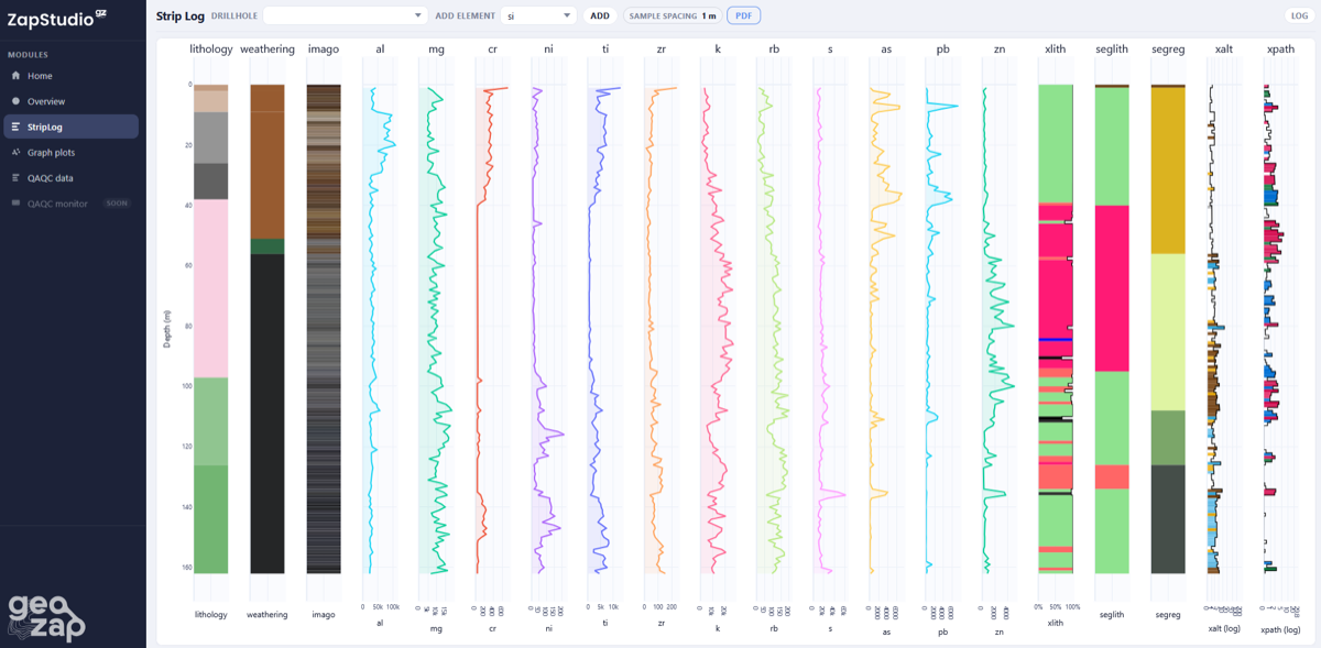
Your pXRF data, classified by geologists
From field collection to project-specific ML classification. Two products, one integrated platform — built by geologists who understand your project, your rocks, and your needs.
- XRF-ZAP — field validation app for clean, validated data on the go
- ZAP LAB — project-specific trained ML models for automated classification
- ZAP Connect — the integration engine connecting directly to your database
- ZAP Studio — the dashboard for field geologists and project managers
- Compatible with Olympus, SciAps, Bruker, Niton instruments and robots
Built for everyone on your geological team
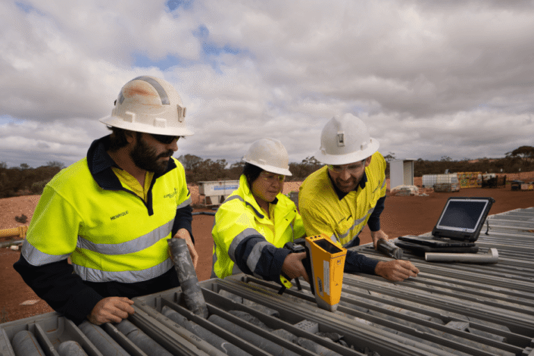
Field Geologist
Validate and classify data on the go — better logging decisions, right at the core yard
Resource Geologist
Clean, classified data ready for 3D modelling — straight from the platform
Data Manager
Validated, consistent data in your database — no manual cleaning, no headaches
Geoscientist
Automate your geochemical workflow and extract specific markers from your pXRF data
Manager
Reduce costs, accelerate decisions, and back them with geological evidence
Two subscriptions, one integrated platform
XRF-ZAP for field validation, ZAP LAB for project-specific ML classification. Simple, works with all instruments and robots. Integrates with all existing systems.
Field QAQC, data validation, and database push. ML classification add-on available.
Custom trained ML model, project-specific. Includes QAQC module, ZAP Connect database integration, and ZAP Studio viewer.
ML classification add-on available for XRF-ZAP at cost per analysis. Contact us for details.
Contact us for pricing →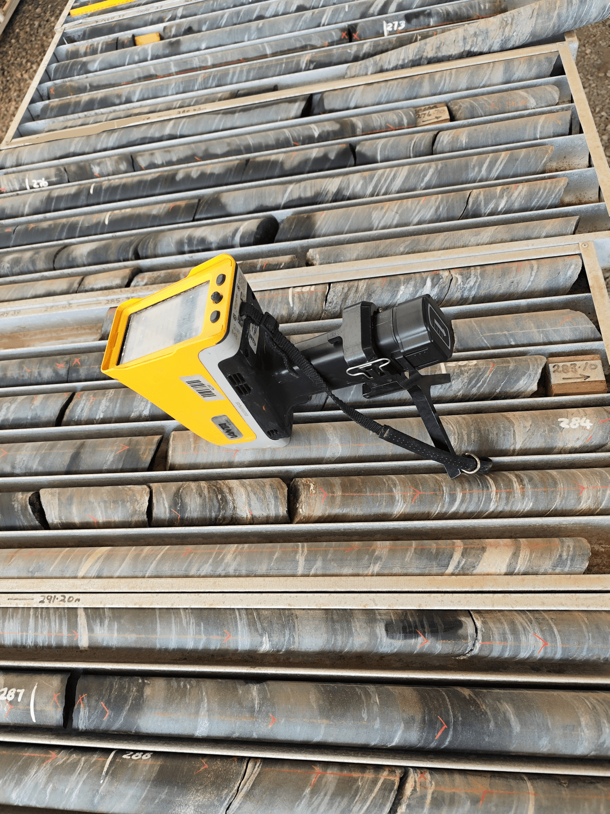
Clean, validated data before it leaves the field
No automated process in place? The XRF-ZAP app gives your field geologist a clean, validated feed into your database — on the go, before data drifts too far from the truth.
XRF-ZAP works as a standalone solution — no existing database required. Built for teams using handheld instruments with manual processes in place, and ready to grow with you when you are.
- Real-time contamination and instrument drift monitoring
- Data validation warnings issued to field operators on the go
- Pushes data directly to your database via ZAP connectors
- Works with Olympus, SciAps, Bruker, Niton
- ML classification add-on available — classify data as you collect it
We work with all sample types — as long as it's recorded.
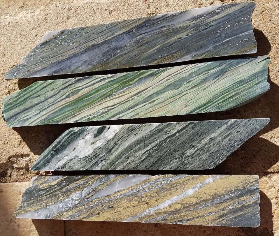
From soil samples and unconsolidated pulps and fines from RC and AC drilling, to consolidated chips and core — if it's been measured with a pXRF, GeoZap can classify it.
Project-specific trained geological models. No one else is doing this for pXRF data.
We train a model specifically on your project — not a generic model, your data. Lithology, regolith, alteration, vectoring to mineralisation. Validated by geologists who know the project, the rock, and the field.
- Connects directly to your existing database — works with all instruments
- Project-specific trained ML model — not generic, your data
- Lithology, regolith, alteration, vectoring to mineralisation
- Automated results delivered in minutes once set up
- QAQC module included — cleans data, validates, detects drift
- You'll be surprised how much you can extract from pXRF data
Already using an automated core scanner? GeoZap connects directly to your data output and classifies it — no matter what system you use.
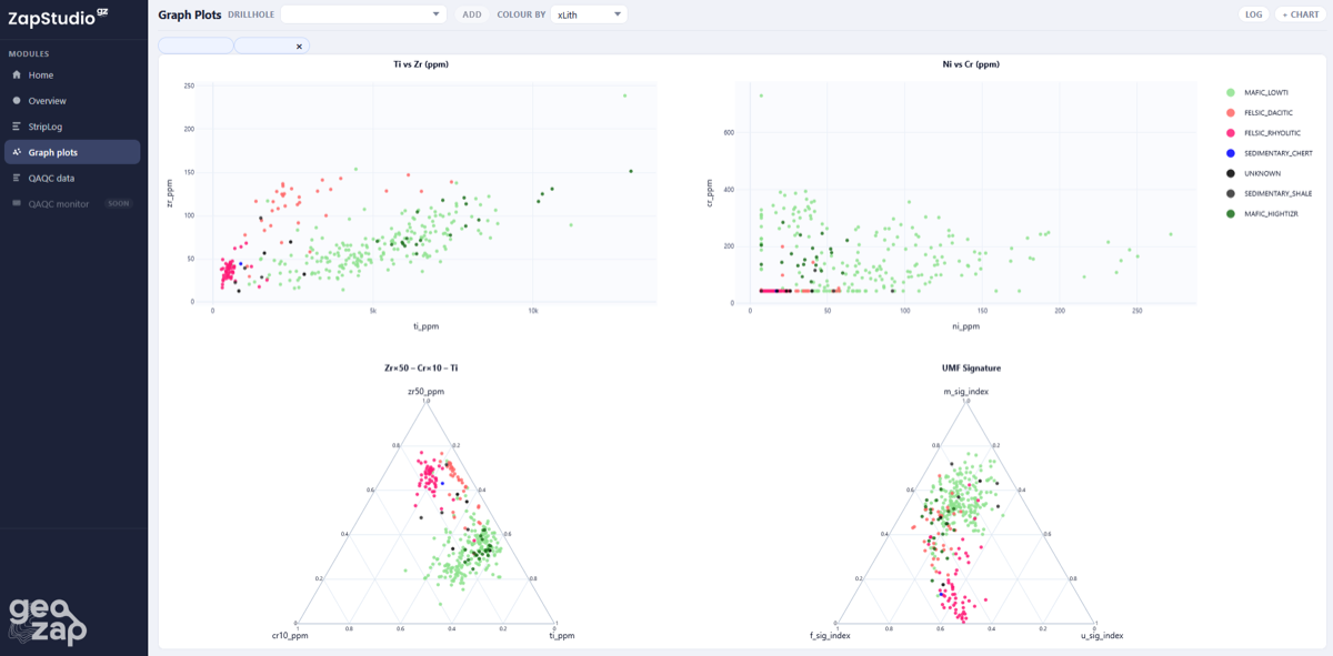
How ZAP LAB works
We understand your project
We consult with you to understand your geology, your objectives, and how pXRF fits into your workflow. ZAP Connect then links directly to your database or data source of choice — works with all instruments and all database systems.
We label and train your model
We validate and label your data as geologists, then train a classification model specific to your project. Every project gets its own trained model — not a one-size-fits-all solution.
Automated results, on the go
New data is classified automatically in minutes — lithology, regolith, alteration, vectoring. Supporting logging decisions in the field and data preparation for modelling in the office.
Ramelius Resources
pXRF instruments now used 2x more often — with faster, more consistent classification feeding directly into 3D geological models